Annex "Geomorphology"
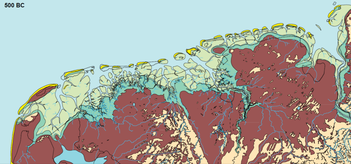
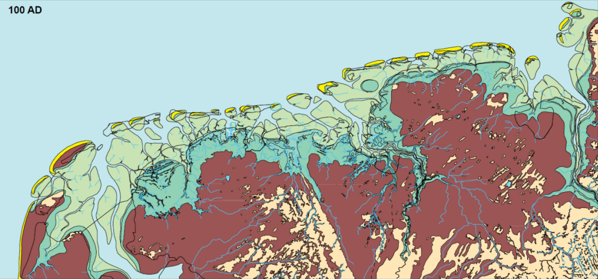
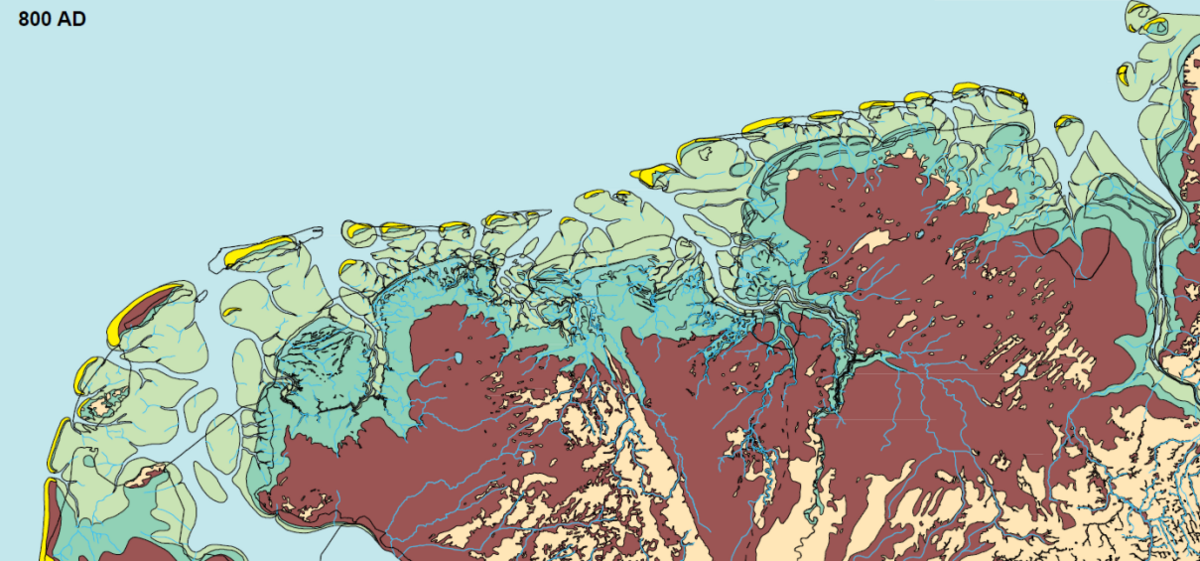
Overview of reconstructions for 500 BC, 100 AD, 800 AD, 1500 AD, 2000 AD for the East and West Frisian Islands (Vos & Bungenstock, 2013, Vos & Knol, 2013, Vos, 2015).
 Figure A.1. Palaeogeographic map of the study area around 500 BC.
 Figure A.2. Palaeogeographic map of the study area around 100 AD.
 Figure A.3. Palaeogeographic map of the study area around 800 AD.
 Figure A.4. Palaeogeographic map of the study area around 1500 AD.
 Figure A.5. Palaeogeographic map of the study area at 2000 AD.
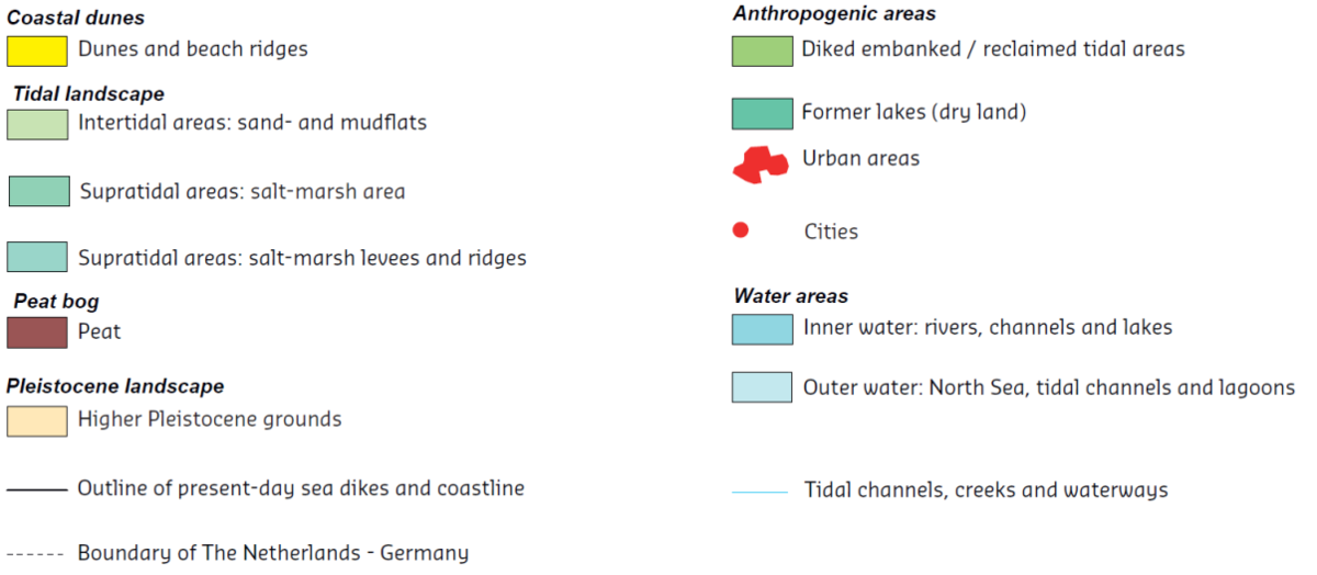
Legend:

